Walking in the Alpilles from Fontvieille: trails, summer fire rules and camping
In short: Walking in the Alpilles from Fontvieille ranges from the easy 3.8 km mills trail to a three-hour GR6 hike to Les Baux. From 1 June to 30 September, access to the hills depends on a daily green or red fire map published the evening before. The village campsite opens from early April to early October.
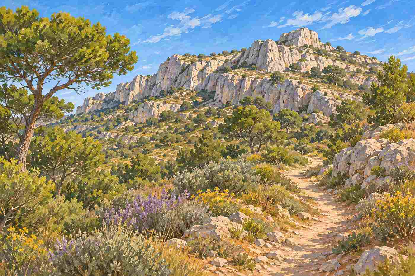
Walking in the Alpilles from Fontvieille is one of the simplest ways to see this corner of Provence: the village sits at the western end of the range, and several signposted paths start from the tourist office. This guide covers the main walks, from an hour among the windmills to a day on the ridges, explains the summer fire rules that close the hills on high-risk days and gives the facts on camping. It draws on the Alpilles Regional Nature Park, the Bouches-du-Rhône prefecture, the Alpilles tourist office, the regional tourist board and independent guides, and names them where they differ.
Some definitions. A massif is a block of hills or mountains treated as one area for fire rules. Garrigue is the low, scented scrub of the Mediterranean, with thyme, rosemary and kermes oak. The GR6 is a long-distance footpath (grande randonnée) that crosses the Alpilles from east to west. A Parc naturel régional is a protected rural area managed by its communes under a shared charter.
The Alpilles in figures
The Alpilles Regional Nature Park was created in 2007 and covers 51,000 hectares in the Bouches-du-Rhône, with about 47,500 residents. Its key figures page says 48% of the area is natural land, two-thirds of it forest, and 42.5% is farmland. It lists 17 communes, including Fontvieille, with Arles, Tarascon and Saint-Martin-de-Crau as “gateway towns” partly inside the park. It counts 110 listed historic monuments and about 600,000 overnight visitors a year.
Which walks start in Fontvieille?
Three routes cover most visitors’ needs, from very easy to a full half-day.
| Walk | Length or time | Level | Source |
|---|---|---|---|
| Trail of the Moulins de Daudet | 3.8 km loop | Very easy | Regional tourist board |
| Les Crottes d’Aubert (mills and Barbegal) | 3 h 10, +173 m | Medium | Chemins des Parcs |
| GR6 from Fontvieille to Les Baux | About 3 hours one way | Not graded | Ryo |
The mills trail
The regional tourist board rates the trail of the Moulins de Daudet as very easy. It starts and ends at the tourist office, climbs past the water tower to the Sourdon windmill, continues to the Daudet windmill, then descends past the Ramet and Tissot-Avon windmills to the gate of the Château de Montauban. On the way down, the ruts of old carts are still visible in the rock. ProvenceWeb puts the walk at about one hour. For the history of the mills, see our guide to Alphonse Daudet’s windmill in Fontvieille.

Les Crottes d’Aubert: mills to Barbegal
The longer loop described by Chemins des Parcs, the walking portal of French regional parks, also starts at the tourist office and is rated medium, with about 3 hours 10 minutes of walking and 173 metres of climbing. It links the Daudet mill with the Roman aqueduct and mills of Barbegal, and its notes cover the landscape on the way: the almond tree, the first to blossom each year, which arrived in France in the 5th century; the Provence cypress, which can reach 20 to 30 metres; and the olive groves, many of them regrown from the roots after the great frost of 1956. Our guide to the Barbegal aqueduct and Roman mills explains what you see at the far end.
The GR6 to Les Baux
For a day on the ridges, Ryo says the GR6, which crosses the Alpilles from east to west, takes about three hours on foot from Fontvieille to Les Baux-de-Provence. It advises sturdy shoes and plenty of water, as water points are rare on the ridges. Plan a return by road, or see our guide to Les Baux-de-Provence from Fontvieille for the château and the Carrières des Lumières at the end of the walk.
Summer fire rules: check before you walk
From 1 June to 30 September, access to the forests of the Bouches-du-Rhône is regulated by prefectural order. The Bouches-du-Rhône prefecture says access is set each day according to weather and drought, mapped for each massif and commune, and published around 6pm for the following day. The current order dates from 22 April 2025.
Since 2025 the public map uses only two colours. The Grand Site Sainte-Victoire explains that green means access is allowed (risk low, moderate or severe) and red means access is banned (risk very severe or extreme). Sources differ on the time: the prefecture says around 6pm, while Gomet reports the risk level is set at 5pm. Check after 6pm to be safe.
The Alpilles tourist office adds that the period can start earlier or end later in a dry year, that the levels can also be checked by phone on 0811 20 13 13, and that vehicles are banned all year from the massif except on public roads. The park’s own access page gives the Maison du Parc number as 04 90 90 44 00.
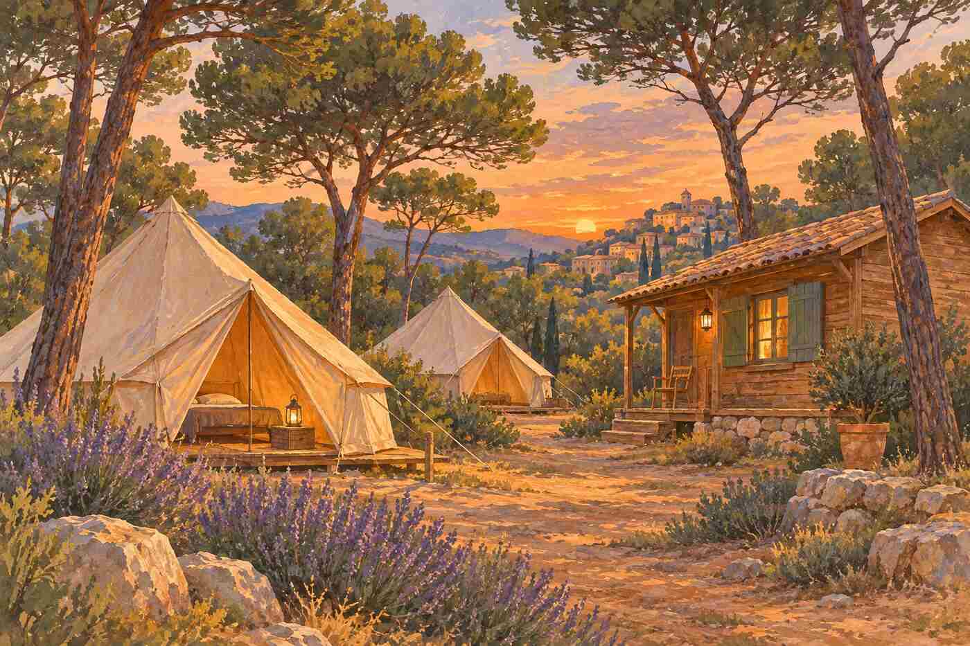
Camping in Fontvieille
For walkers who want to sleep close to the trails, the village campsite is Camping Huttopia Fontvieille, which Alan Rogers says was formerly the Camping Municipal les Pins. It lists the season as early April to early October, with 128 touring pitches, 126 of them with electricity, an outdoor pool and rental accommodation. The site is on the eastern edge of the village on the D17 Arles to Les Baux road, about 15 minutes from the centre by a forest track.
Fontvieille is also the closest Alpilles village to Arles, according to Perfectly Provence, so walkers can stay in the town and come out by bus or bike. Our Fontvieille village guide covers transport and the market days.
Key takeaways
- The easy mills trail is a 3.8 km loop from the tourist office.
- The medium Crottes d’Aubert loop links the mills with Roman Barbegal in about 3 hours 10 minutes.
- The GR6 reaches Les Baux in about three hours; carry water.
- From 1 June to 30 September, a green or red map decides access, published the evening before.
- Camping Huttopia Fontvieille opens from early April to early October.
Common questions
Can you walk in the Alpilles in summer?
Yes, on green days. From 1 June to 30 September, the Bouches-du-Rhône prefecture publishes a daily map around 6pm for the next day. Green means access is allowed; red means it is banned because the fire risk is very severe or extreme. The season can be extended in a dry year, so check the map before every walk.
What is the easiest walk from Fontvieille?
The trail of the Moulins de Daudet, a 3.8 km loop from the tourist office that the regional tourist board rates as very easy. It passes four windmills and the Château de Montauban, and ProvenceWeb says it takes about an hour. Ryo notes that the last stretch below the Daudet mill is stony.
Can you walk from Fontvieille to Les Baux?
Yes. Ryo says the GR6 long-distance footpath crosses the Alpilles and takes about three hours from Fontvieille to Les Baux-de-Provence. Wear sturdy shoes and carry plenty of water, as water points are scarce on the ridges, and check the fire access map in summer before setting out.
Is there a campsite in Fontvieille?
Yes. Alan Rogers lists Camping Huttopia Fontvieille, formerly the municipal Les Pins site, on the eastern edge of the village. It opens from early April to early October and has 128 touring pitches, an outdoor pool and rental accommodation. The centre is about 15 minutes away on a forest track.
How we put this together: park figures come from the Alpilles Regional Nature Park; routes come from the regional tourist board, Chemins des Parcs, ProvenceWeb and Ryo; fire rules come from the Bouches-du-Rhône prefecture, the Grand Site Sainte-Victoire, Gomet and the Alpilles tourist office, which differ on the publication time; campsite details come from Alan Rogers. Checked 19 November 2026. Back to the Fontvieille Village Guide home page.
Sources
- Parc naturel régional des Alpilles: Key figures
- Parc naturel régional des Alpilles: Access to the forests
- Préfecture des Bouches-du-Rhône: Access to the forests
- Grand Site Sainte-Victoire: What changed in 2025
- Gomet: New forest fire maps
- Alpilles en Provence: Access to the Alpilles massif
- Provence-Alpes-Côte d’Azur Tourism: The trail of the Moulins de Daudet
- Chemins des Parcs: Les Crottes d’Aubert
- ProvenceWeb: Fontvieille
- Ryo: Visit Alphonse Daudet’s windmill in Fontvieille
- Alan Rogers: Camping Huttopia Fontvieille
- Perfectly Provence: A guide to the villages of the Alpilles