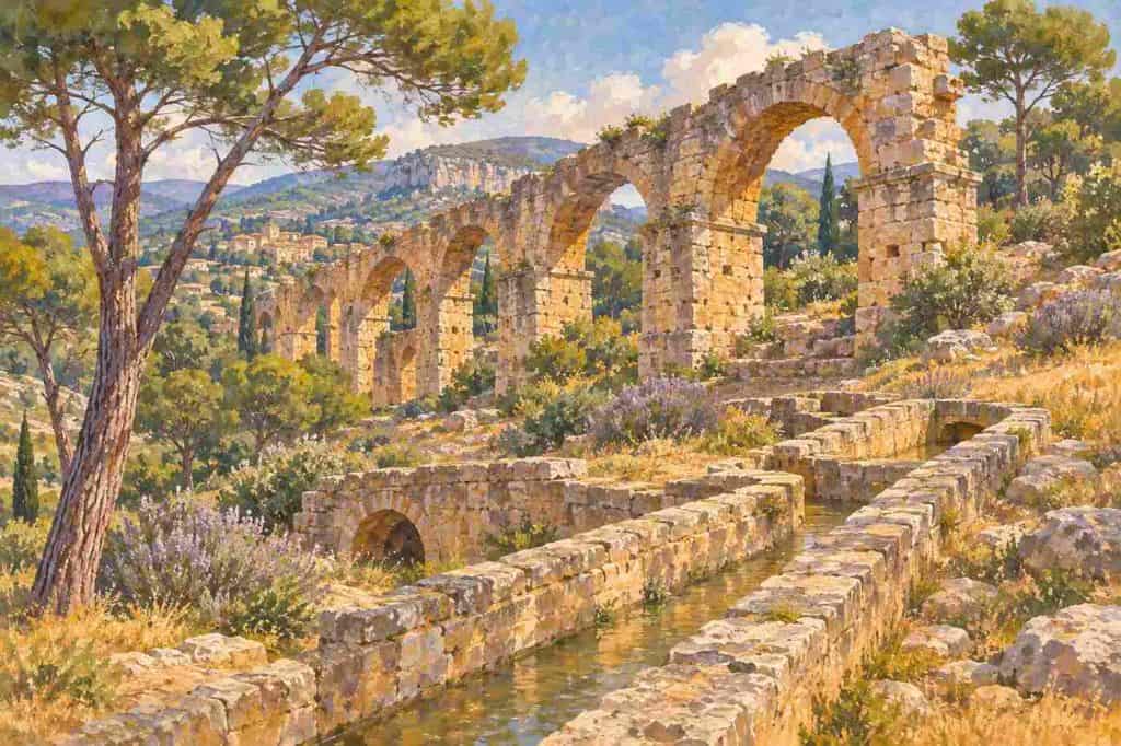
In short: The Barbegal aqueduct and mills, 2 km from Fontvieille, were a Roman flour factory of the 2nd century AD: 16 water wheels in two rows of eight on a hillside, fed by a Roman aqueduct that also served Arles. The ruins are free and open all year. Output estimates range from 4.5 to 25 tonnes of flour a day.
The Barbegal aqueduct and mills are the least known of the great Roman sites around Arles, and among the most important. On a rocky slope a short drive from Fontvieille, Roman engineers built a staircase of water wheels that turned millstones all day, long before the windmills on the village hill. This guide explains what was there, what recent research has found, where sources disagree on its output and how to visit. It draws on Wikipedia, the Martigues tourist office, the RomanAqueducts.info survey, Chemins des Parcs, History Hit, Time Travel Rome and the 2024 study of the site in the journal Geoarchaeology.
Some definitions. An aqueduct is a channel, often raised on arches, that carries water by gravity. An overshot wheel is a water wheel fed from above, so the weight of the water turns it. A millrace is the channel that brings water to a wheel. Arelate was the Roman name of Arles. Carbonate, or limescale, is the mineral crust left by hard water on channels and pipes.
What were the Barbegal aqueduct and mills?
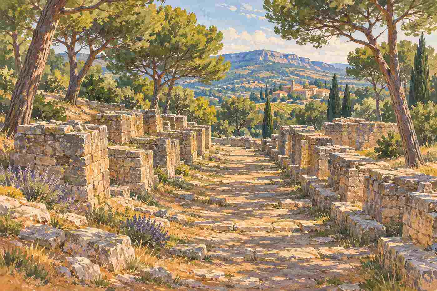
Wikipedia describes Barbegal as a complex of 16 overshot water wheels in two parallel sets of eight, descending a steep hillside, and calls it “the greatest known concentration of mechanical power in the ancient world”. It says the mills worked from the beginning of the 2nd century to about the end of the 3rd. The outflow from each wheel is thought to have driven the next one down.
The walking portal Chemins des Parcs gives the building as a rectangle of 42 by 20 metres on a 30° slope, fed by the eastern branch of the aqueduct. Martigues Tourism says research by the CNRS and the University of Provence in the 1980s dated the site to the 2nd century AD.
How much flour did it make?
This is where the sources part company, so we give each figure with its source.
| Source | Flour per day | People supplied |
|---|---|---|
| Wikipedia, estimated capacity | 4.5 tonnes | Bread for up to 10,000 people in Arelate |
| Wikipedia, higher estimates | Up to 25 tonnes | Perhaps 30,000 to 40,000 |
| Chemins des Parcs | About 4.5 tonnes | Not stated |
| France Voyage | 25 tonnes | Not stated |
The lower figure is the one used by the regional parks walking guide; France Voyage repeats the higher one. Either way, Wikipedia counts it as the largest known ancient mill complex.
The Roman aqueduct that fed it
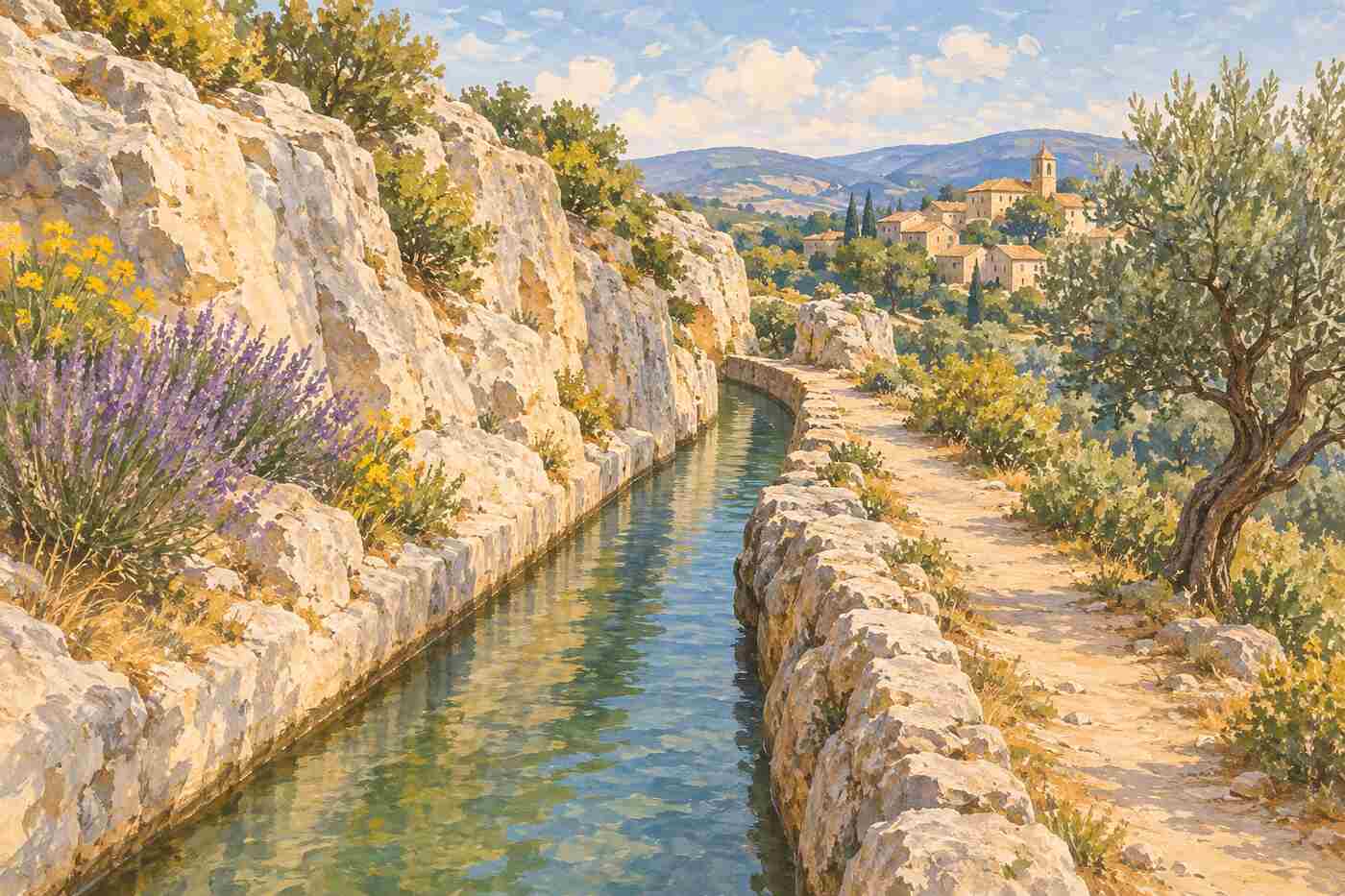
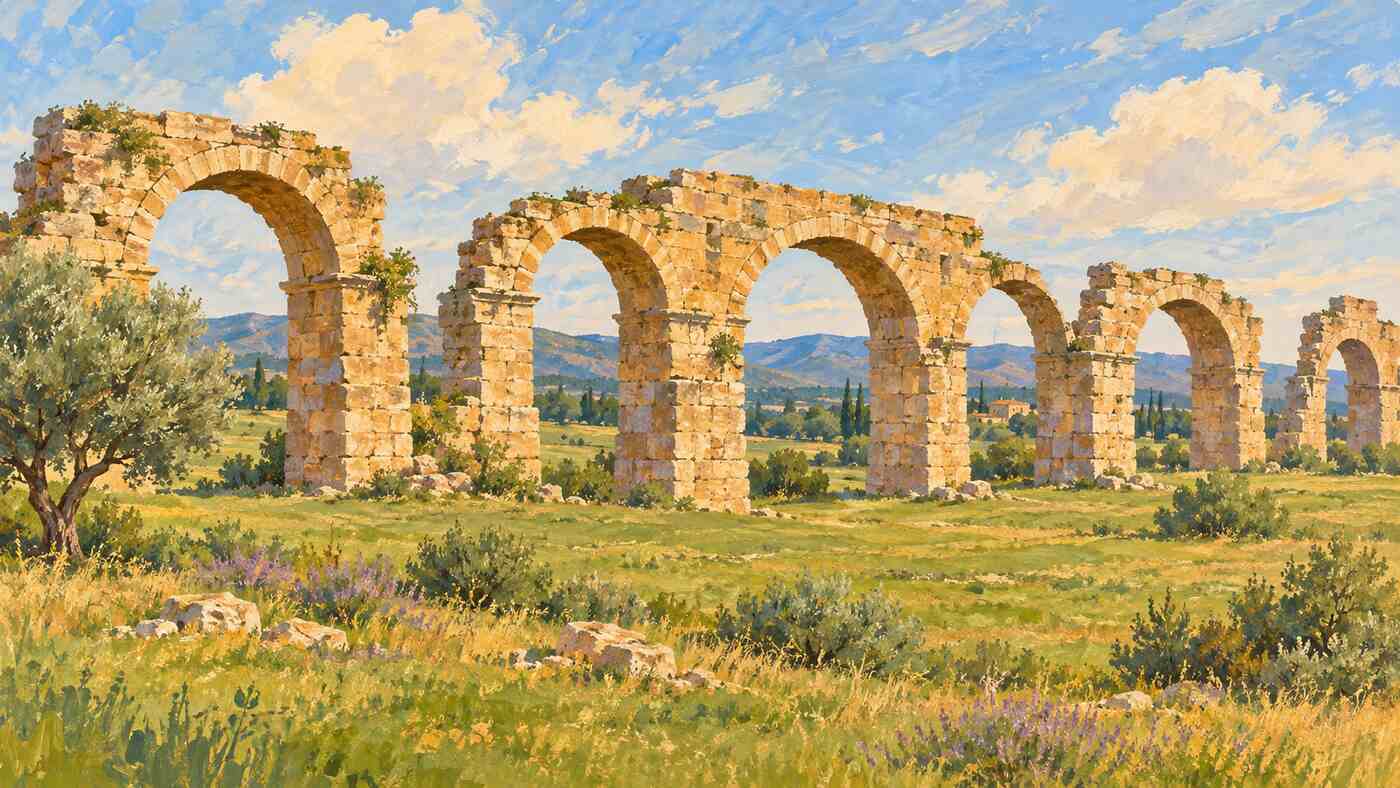
Water came from the Alpilles. The RomanAqueducts.info survey describes a system of about 62 km carrying around 45,000 m³ of water a day, with an Eygalières branch of 51 km and a Caparon branch of 11 km. Chemins des Parcs says the Romans built two parallel aqueduct bridges in the 1st century AD that met in a basin, from which one conduit ran to Arles. In the 2nd century the eastern branch was diverted to drive the mill, while the western one kept supplying the town. Wikipedia adds that a sluice north of the mills controlled the water.
After the wheels, the water was collected in a channel and discharged into the marshes below, according to Chemins des Parcs.
What the 2024 research found
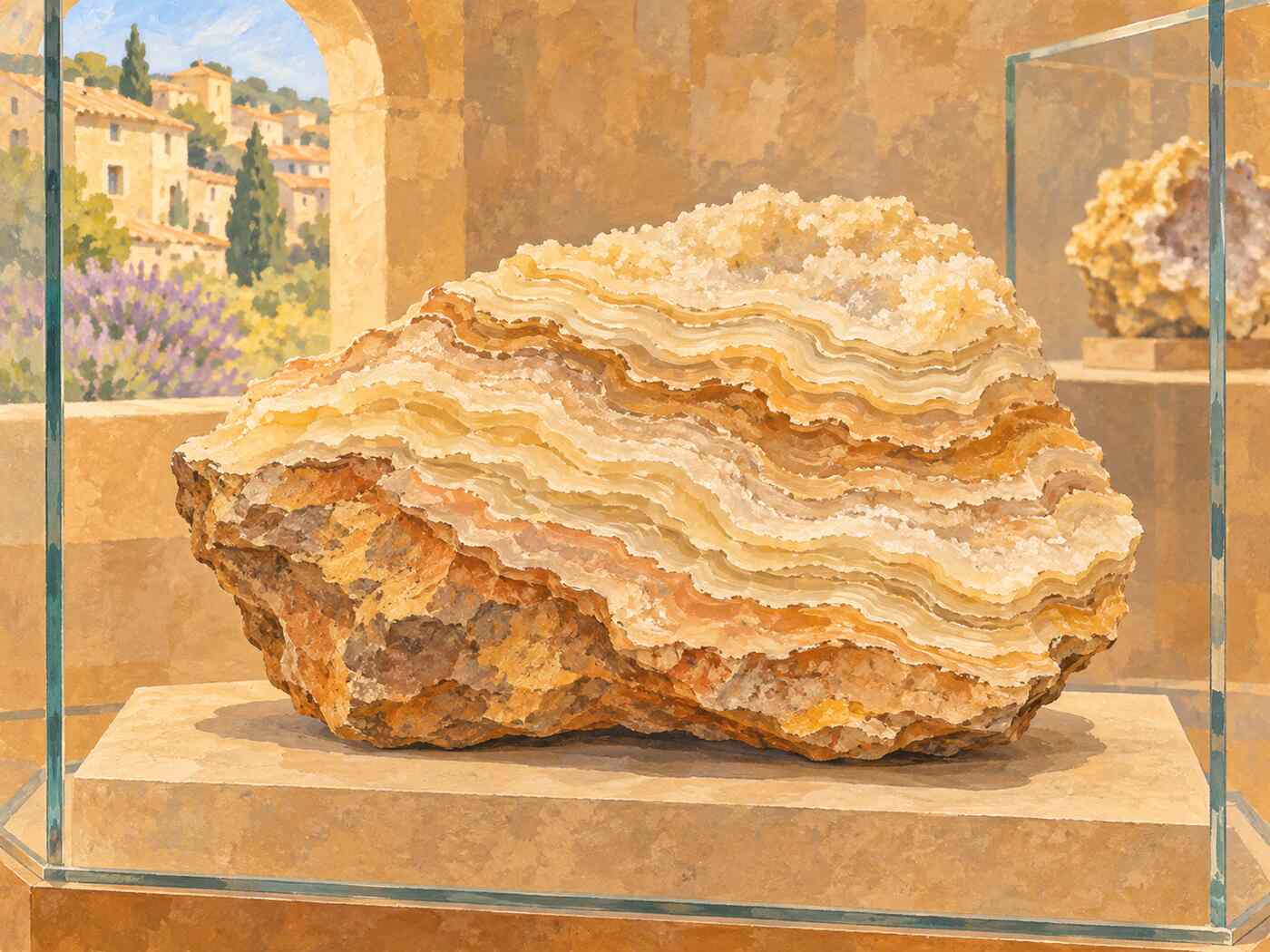
The newest evidence comes from limescale. A study reported by ScienceDaily, led by Cees Passchier and Gül Sürmelihindi of Johannes Gutenberg University Mainz with French and Austrian colleagues and published in Geoarchaeology in 2024, examined carbonate crusts stored at the Archaeological Museum of Arles. The team fitted together pieces from some 140 stored fragments.
- The crusts formed near the end of the mills’ working life of about 100 years, over seven to eight years.
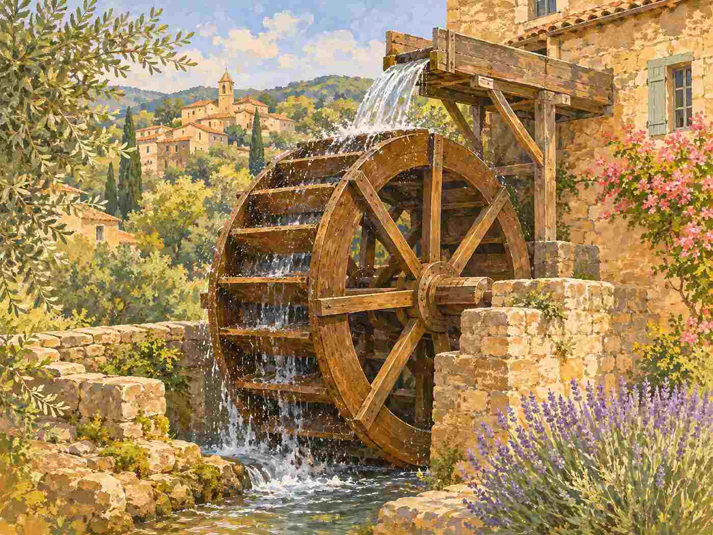
- Wooden wheels and channels had to be replaced every three to eight years; at least once, a wheel was replaced with a larger one.
- The slope of a channel was changed, which meant rebuilding part of the mill.
- The two sides worked separately near the end, and the western side was abandoned first.
- The top layer holds shells and wood, a sign that water kept flowing after maintenance stopped.
An earlier study, by Sürmelihindi, Leveau, Spötl, Bernard and Passchier, appeared in Science Advances in 2018 and is listed by Wikipedia.
Visiting the Barbegal aqueduct and mills from Fontvieille or Arles
Martigues Tourism says the site is open all year and 2 km from the village. Time Travel Rome advises parking on the Route de l’Aqueduc and walking about 250 metres through a 3 m cleft cut in the rock; entry is free. History Hit warns that the site is signposted only as “Roman aqueduct” and is overgrown, so wear closed shoes and take care on the slope.
Walkers can reach Barbegal on the medium Crottes d’Aubert loop from the Fontvieille tourist office, which Chemins des Parcs times at about 3 hours 10 minutes. Details are in our guide to walking in the Alpilles from Fontvieille. In summer, check the daily fire access map before setting out.
Seeing the wheels reconstructed
Very little stands above ground, so models help. Amusing Planet says a reconstructed wheel can be seen at the Fontvieille tourist office and a model of the whole complex at the Arles antiquities museum. Combine the site with the windmills on the village hill to see two thousand years of milling in one day; our guide to Alphonse Daudet’s windmill in Fontvieille covers the later mills.
Key takeaways
- Barbegal had 16 overshot wheels in two rows of eight, working from the 2nd to about the end of the 3rd century AD.
- Output estimates range from 4.5 to 25 tonnes of flour a day.
- The eastern branch of an aqueduct from the Alpilles fed the mill; the western branch served Arles.
- A 2024 study shows wooden wheels were replaced every three to eight years.
- The site is free, open all year and 2 km from Fontvieille.
Common questions
Is the Barbegal site free?
Yes. Time Travel Rome says entry is free, and Martigues Tourism says the site is open all year. Park on the Route de l’Aqueduc and walk about 250 metres through a rock cleft. History Hit notes that the ruins are overgrown, so wear sturdy shoes.
How old is the Barbegal mill?
It dates to the 2nd century AD. Martigues Tourism says CNRS and University of Provence research in the 1980s fixed that date, and Wikipedia says the mills ran from the early 2nd century to about the end of the 3rd. The 2024 Mainz study gives a working life of about 100 years.
How many water wheels did Barbegal have?
Sixteen. Wikipedia and the 2024 study reported by ScienceDaily both describe two parallel rows of eight overshot wheels on the hillside, eight on the east side and eight on the west. Water passed from wheel to wheel down the slope, and near the end of their life the two rows worked separately.
How far is Barbegal from Fontvieille?
About 2 km, according to Martigues Tourism, so a few minutes by car or bike. Walkers can follow the Crottes d’Aubert loop from the Fontvieille tourist office, a medium route of about 3 hours 10 minutes that also passes the Daudet windmill. Check the summer fire access rules before walking.
How we put this together: the layout and dates come from Wikipedia, Chemins des Parcs and Martigues Tourism; the output figures differ between Wikipedia, Chemins des Parcs and France Voyage, so we give all of them; the aqueduct comes from RomanAqueducts.info and Chemins des Parcs; the research comes from ScienceDaily; access comes from Time Travel Rome and History Hit; the reconstructions come from Amusing Planet. Checked 19 November 2026. Back to the Fontvieille Village Guide home page.
Sources
- Wikipedia: Barbegal aqueduct and mills
- Martigues Tourism: Roman aqueducts of Barbegal
- Chemins des Parcs: Les Crottes d’Aubert
- RomanAqueducts.info: Arles, Barbegal
- ScienceDaily: Layers of carbonate provide insight into the world of the ancient Romans
- Time Travel Rome: The two aqueducts of Arles and the mills of Barbegal
- History Hit: Barbegal aqueduct and mill
- Amusing Planet: The Barbegal mills
- France Voyage: Fontvieille